Geoscience
Advertisement
Integrated Data Viewer v.2 9
The Integrated Data Viewer (IDV) from Unidata is a Java™-based software framework. The IDV 'reference application' is a geoscience display and analysis software system with many of the standard data displays that other Unidata software (e.g.
Encom Discover v.12.0
Encom Discover is the desktop Geographical Information System (GIS) designed especially for the geosciences, providing the tools to effectively compile, visualise, analyse and map spatial geoscience data.
Advertisement
GeoMapApp v.3.1.6
GeoMapApp is an earth science exploration and visualization software that is continually being expanded as part of the Marine Geoscience Data System (MGDS) at the Lamont-Doherty Earth Observatory of Columbia University.
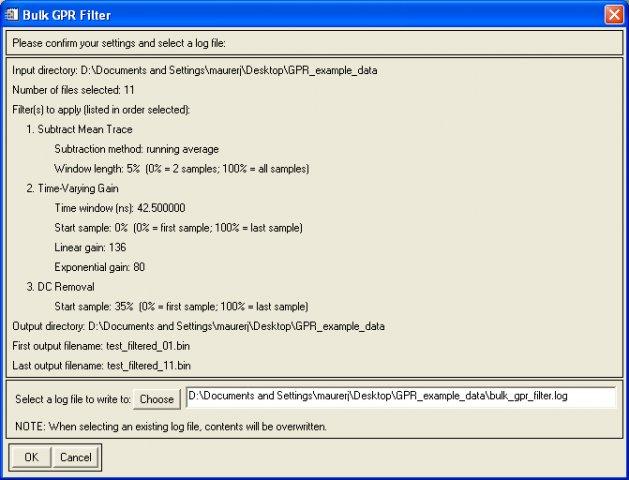
GPR IDL tools v.1.00
IDL and ENVI software tools for opening, viewing, filtering, and analyzing Mal Geoscience RAMAC ground-penetrating radar (GPR) data.
The KINGDOM Suite v.7 5
Making better decisions with minimal risk starts with having a clear vision of the prospect.
GEOCatalog v.6.0
GEOCatalog is an application to allow easy management of the files created by the authoring programs that comprise the GEO Software Suite.
MCC-LIDAR v.1.0
MCC-LIDAR is a C application for processing LiDAR data in forested environments. It classifies data points as ground or non-ground using the Multiscale Curvature Classification algorithm.
Dapple v.2.1.4
Dapple is a global data explorer designed to provide an open and optimal environment for visualizing, presenting and sharing massive quantities of geoscientific data on desktop computers.